Plantation Wood
Introduction
The photograph on this page of Plantation Wood by Simon Carey as part of the Geograph project.
The Geograph project started in 2005 with the aim of publishing, organising and preserving representative images for every square kilometre of Great Britain, Ireland and the Isle of Man.

There are currently over 7.5m images from over 14,400 individuals and you can help contribute to the project by visiting https://www.geograph.org.uk
Plantation Wood
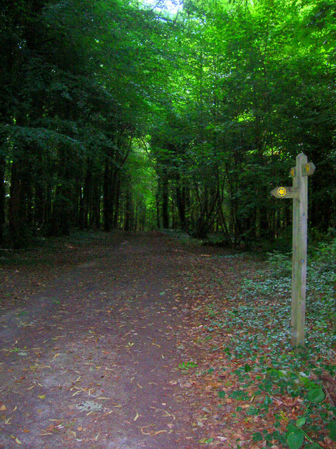
Image: © Simon Carey Taken: 27 Jul 2008
Near the entrance from Wartling Road. A bridleway heads southwards parallel to the road before joining up another one which heads westwards across the grounds of Herstmonceux Castle.
Images are licensed for reuse under creativecommons.org/licenses/by-sa/2.0
Image Location
Latitude
50.872338
Longitude
0.348401