Barn with old signs, Buckland Common
Introduction
The photograph on this page of Barn with old signs, Buckland Common by Rob Farrow as part of the Geograph project.
The Geograph project started in 2005 with the aim of publishing, organising and preserving representative images for every square kilometre of Great Britain, Ireland and the Isle of Man.

There are currently over 7.5m images from over 14,400 individuals and you can help contribute to the project by visiting https://www.geograph.org.uk
Barn with old signs, Buckland Common
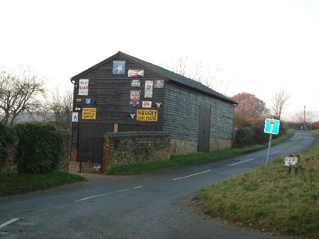
Image: © Rob Farrow Taken: 10 Dec 2005
There are a number of interesting old enamelled signs on this barn on Little Twye Road in Buckland Common. It is almost bisected by the 920 grid line.
Images are licensed for reuse under creativecommons.org/licenses/by-sa/2.0
Image Location
Latitude
51.755043
Longitude
-0.66841