Field near Pen-pontbren
Introduction
The photograph on this page of Field near Pen-pontbren by Nigel Brown as part of the Geograph project.
The Geograph project started in 2005 with the aim of publishing, organising and preserving representative images for every square kilometre of Great Britain, Ireland and the Isle of Man.

There are currently over 7.5m images from over 14,400 individuals and you can help contribute to the project by visiting https://www.geograph.org.uk
Field near Pen-pontbren
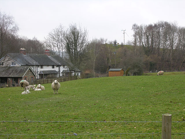
Image: © Nigel Brown Taken: 17 Mar 2006
Grazing land. The massive embankment on the skyline carried the Manchester and Milford Railway across the Dulas valley, with the river passing under the embankment by means of a very large culvert. The gap in the embankment is where the bit over the culvert has been removed; see Image
Images are licensed for reuse under creativecommons.org/licenses/by-sa/2.0
Image Location
Latitude
52.422912
Longitude
-3.538007