Cilddewi Uchaf - outbuilding
Introduction
The photograph on this page of Cilddewi Uchaf - outbuilding by Deborah Tilley as part of the Geograph project.
The Geograph project started in 2005 with the aim of publishing, organising and preserving representative images for every square kilometre of Great Britain, Ireland and the Isle of Man.

There are currently over 7.5m images from over 14,400 individuals and you can help contribute to the project by visiting https://www.geograph.org.uk
Cilddewi Uchaf - outbuilding
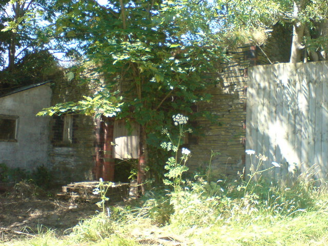
Image: © Deborah Tilley Taken: 27 Jul 2008
Roughly translated as ' David's higher corner'. The property is currently for sale and will no doubt be given a new lease of life.
Images are licensed for reuse under creativecommons.org/licenses/by-sa/2.0
Image Location
Latitude
51.73614
Longitude
-4.106775