The River Waver, Abbeytown
Introduction
The photograph on this page of The River Waver, Abbeytown by Andrew Smith as part of the Geograph project.
The Geograph project started in 2005 with the aim of publishing, organising and preserving representative images for every square kilometre of Great Britain, Ireland and the Isle of Man.

There are currently over 7.5m images from over 14,400 individuals and you can help contribute to the project by visiting https://www.geograph.org.uk
The River Waver, Abbeytown
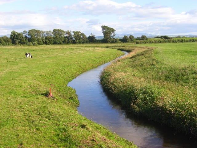
Image: © Andrew Smith Taken: 19 Jul 2008
Looking upstream from New Bridge, a short distance above the river's tidal limit.
Images are licensed for reuse under creativecommons.org/licenses/by-sa/2.0
Image Location
Latitude
54.848926
Longitude
-3.27238