Pastures, Liddesdale
Introduction
The photograph on this page of Pastures, Liddesdale by Andrew Smith as part of the Geograph project.
The Geograph project started in 2005 with the aim of publishing, organising and preserving representative images for every square kilometre of Great Britain, Ireland and the Isle of Man.

There are currently over 7.5m images from over 14,400 individuals and you can help contribute to the project by visiting https://www.geograph.org.uk
Pastures, Liddesdale
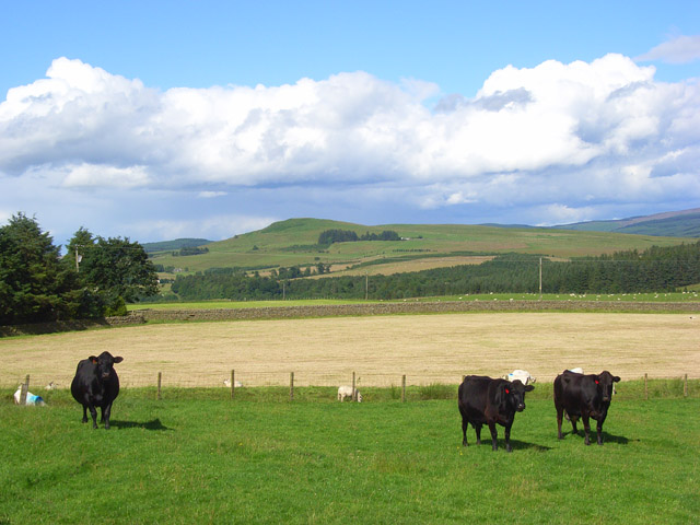
Image: © Andrew Smith Taken: 19 Jul 2008
Fields beside the B6357. Carby Hill is in the background, across the valley but still within Scotland.
Images are licensed for reuse under creativecommons.org/licenses/by-sa/2.0
Image Location
Latitude
55.12766
Longitude
-2.842107