Waterfall, Threapland Gill
Introduction
The photograph on this page of Waterfall, Threapland Gill by Bob Jenkins as part of the Geograph project.
The Geograph project started in 2005 with the aim of publishing, organising and preserving representative images for every square kilometre of Great Britain, Ireland and the Isle of Man.

There are currently over 7.5m images from over 14,400 individuals and you can help contribute to the project by visiting https://www.geograph.org.uk
Waterfall, Threapland Gill
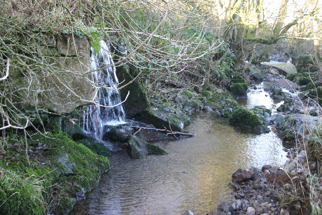
Image: © Bob Jenkins Taken: 11 Dec 2005
A mini-hanging valley discharges into main, but small, beck
Images are licensed for reuse under creativecommons.org/licenses/by-sa/2.0
Image Location
Latitude
54.736177
Longitude
-3.310779