The Half Moon
Introduction
The photograph on this page of The Half Moon by Simon Carey as part of the Geograph project.
The Geograph project started in 2005 with the aim of publishing, organising and preserving representative images for every square kilometre of Great Britain, Ireland and the Isle of Man.

There are currently over 7.5m images from over 14,400 individuals and you can help contribute to the project by visiting https://www.geograph.org.uk
The Half Moon
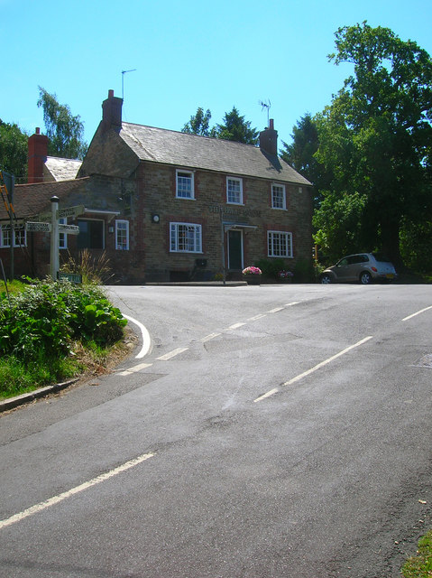
Image: © Simon Carey Taken: 24 Jul 2008
Standing at the crossroads in the small village of Warninglid, the building is grade II listed and dates back to the 18th century. The road running from bottom left to right is the minor lane from Slaugham that continues down the village street. The one coming from the mid left is Cuckfield Lane, the B2115, which continues onto Plummers Plain and Lower Beeding.
Images are licensed for reuse under creativecommons.org/licenses/by-sa/2.0
Image Location


Leaflet Map data © OpenStreetMap
Latitude
51.020603
Longitude
-0.219037