Higher or Lower Mullacott?
Introduction
The photograph on this page of Higher or Lower Mullacott? by Grant Sherman as part of the Geograph project.
The Geograph project started in 2005 with the aim of publishing, organising and preserving representative images for every square kilometre of Great Britain, Ireland and the Isle of Man.

There are currently over 7.5m images from over 14,400 individuals and you can help contribute to the project by visiting https://www.geograph.org.uk
Higher or Lower Mullacott?
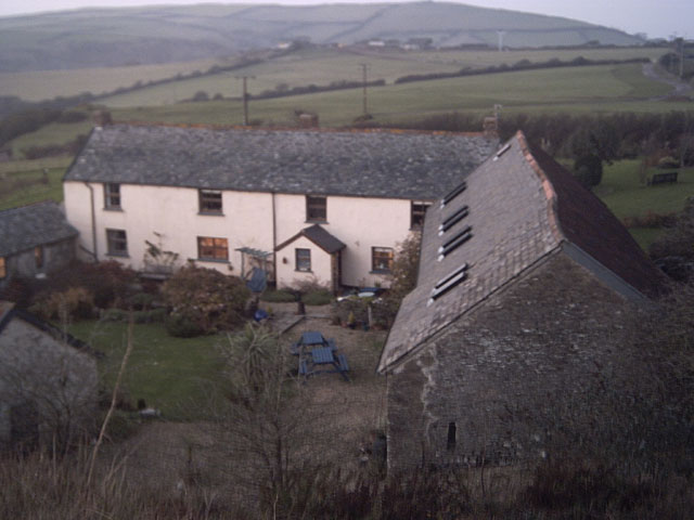
Image: © Grant Sherman Taken: 10 Dec 2005
Taken from the stile near the A361. The OS map says that this is Higher Mullacott. A sign nearby said Lower Mullacott, but that could have been an access road to the other farm. I'll try to resolve this.
Images are licensed for reuse under creativecommons.org/licenses/by-sa/2.0
Image Location


Leaflet Map data © OpenStreetMap
Latitude
51.180393
Longitude
-4.125972