Ferring Rife
Introduction
The photograph on this page of Ferring Rife by Simon Carey as part of the Geograph project.
The Geograph project started in 2005 with the aim of publishing, organising and preserving representative images for every square kilometre of Great Britain, Ireland and the Isle of Man.

There are currently over 7.5m images from over 14,400 individuals and you can help contribute to the project by visiting https://www.geograph.org.uk
Ferring Rife
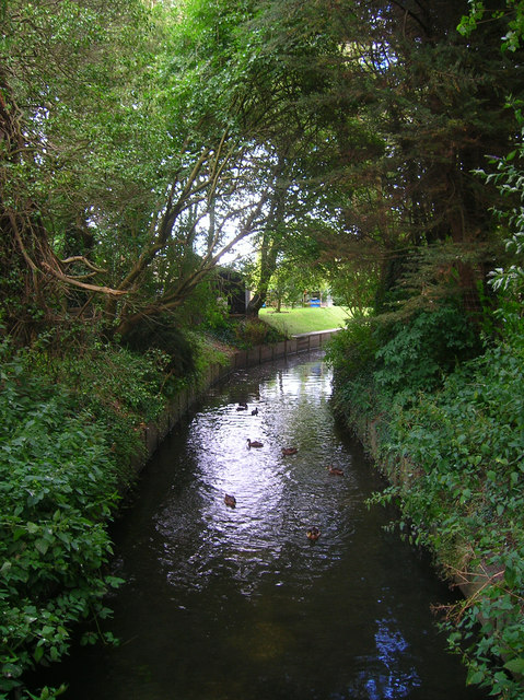
Image: © Simon Carey Taken: 20 Jul 2008
Rife is a local name for a stream common in the coastal plain between Ferring and Pagham Harbour. Taken from the footbridge that carries the path from Downview Avenue to Littlehampton Road, this part of the stream has been straightened in order to pass through the houses many of whose gardens back onto it.
Images are licensed for reuse under creativecommons.org/licenses/by-sa/2.0
Image Location
Latitude
50.819698
Longitude
-0.445893