Church Lane
Introduction
The photograph on this page of Church Lane by Simon Carey as part of the Geograph project.
The Geograph project started in 2005 with the aim of publishing, organising and preserving representative images for every square kilometre of Great Britain, Ireland and the Isle of Man.

There are currently over 7.5m images from over 14,400 individuals and you can help contribute to the project by visiting https://www.geograph.org.uk
Church Lane
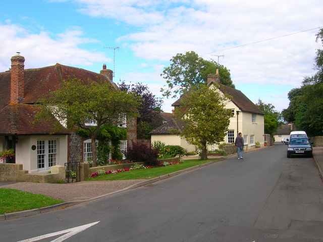
Image: © Simon Carey Taken: 20 Jul 2008
This is the heart of the old village and up to 1914 the southern edge leading onto fields between here and the beach. Holly Cottage, the first on the left, dates back to 1759. St Andrew's Church is out of picture to the right.
Images are licensed for reuse under creativecommons.org/licenses/by-sa/2.0
Image Location
Latitude
50.812891
Longitude
-0.447965