High Cross: Oakridge Lane
Introduction
The photograph on this page of High Cross: Oakridge Lane by Nigel Cox as part of the Geograph project.
The Geograph project started in 2005 with the aim of publishing, organising and preserving representative images for every square kilometre of Great Britain, Ireland and the Isle of Man.

There are currently over 7.5m images from over 14,400 individuals and you can help contribute to the project by visiting https://www.geograph.org.uk
High Cross: Oakridge Lane
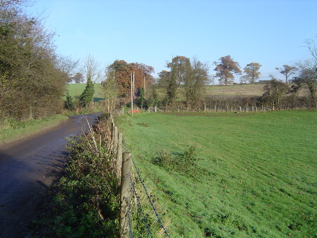
Image: © Nigel Cox Taken: 10 Dec 2005
Hill Farm is the only destination on the road beyond here, viewed looking northwards.
Images are licensed for reuse under creativecommons.org/licenses/by-sa/2.0
Image Location


Leaflet Map data © OpenStreetMap
Latitude
51.687909
Longitude
-0.339234