Stables, Rhoslanog Cross
Introduction
The photograph on this page of Stables, Rhoslanog Cross by Natasha Ceridwen de Chroustchoff as part of the Geograph project.
The Geograph project started in 2005 with the aim of publishing, organising and preserving representative images for every square kilometre of Great Britain, Ireland and the Isle of Man.

There are currently over 7.5m images from over 14,400 individuals and you can help contribute to the project by visiting https://www.geograph.org.uk
Stables, Rhoslanog Cross
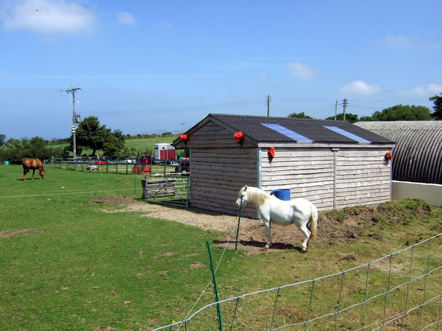
Image: © Natasha Ceridwen de Chroustchoff Taken: 23 Jul 2008
In typical Pembrokeshire fashion, the junction where the lane from Rhoslanog meets the A487 is not in fact a crossroads.
Images are licensed for reuse under creativecommons.org/licenses/by-sa/2.0
Image Location


Leaflet Map data © OpenStreetMap
Latitude
51.938649
Longitude
-5.122379