A420 south-west of Faringdon
Introduction
The photograph on this page of A420 south-west of Faringdon by Brian Robert Marshall as part of the Geograph project.
The Geograph project started in 2005 with the aim of publishing, organising and preserving representative images for every square kilometre of Great Britain, Ireland and the Isle of Man.

There are currently over 7.5m images from over 14,400 individuals and you can help contribute to the project by visiting https://www.geograph.org.uk
A420 south-west of Faringdon
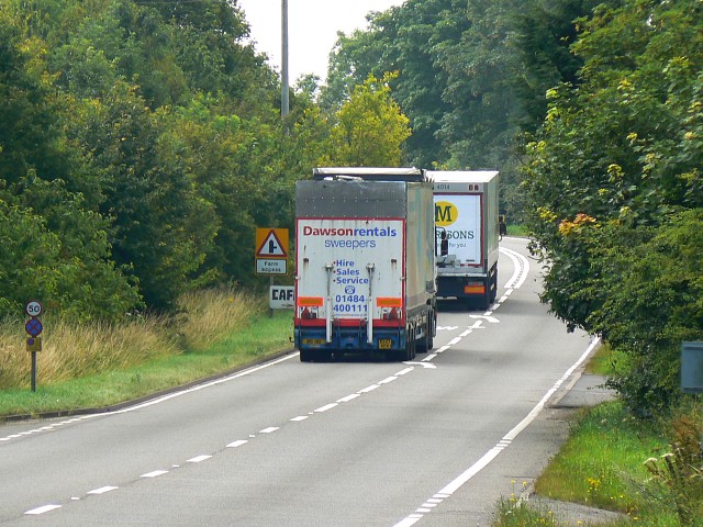
Image: © Brian Robert Marshall Taken: 23 Jul 2008
A telephoto shot of the main road between Oxford and Swindon. Despite the highway authorities seeking to persuade heavies to travel west from Oxford via the A34 and M4 they still prefer to use this road as they have less distance to travel.
Images are licensed for reuse under creativecommons.org/licenses/by-sa/2.0
Image Location


Leaflet Map data © OpenStreetMap
Latitude
51.638196
Longitude
-1.603446