St Andrews Polish RC Church
Introduction
The photograph on this page of St Andrews Polish RC Church by Pam Brophy as part of the Geograph project.
The Geograph project started in 2005 with the aim of publishing, organising and preserving representative images for every square kilometre of Great Britain, Ireland and the Isle of Man.

There are currently over 7.5m images from over 14,400 individuals and you can help contribute to the project by visiting https://www.geograph.org.uk
St Andrews Polish RC Church
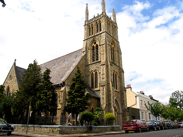
Image: © Pam Brophy Taken: 10 May 2005
This church is indicative of the cosmopolitan area in these few square kilometres of London around Chiswick, Turnham Green, Ravenscourt Park etc. It is situated just south west of the centre of the grid square. This picture was taken from the north east of the building.
Images are licensed for reuse under creativecommons.org/licenses/by-sa/2.0
Image Location


Leaflet Map data © OpenStreetMap
Latitude
51.501171
Longitude
-0.236531