Restrop Road, Purton
Introduction
The photograph on this page of Restrop Road, Purton by Brian Robert Marshall as part of the Geograph project.
The Geograph project started in 2005 with the aim of publishing, organising and preserving representative images for every square kilometre of Great Britain, Ireland and the Isle of Man.

There are currently over 7.5m images from over 14,400 individuals and you can help contribute to the project by visiting https://www.geograph.org.uk
Restrop Road, Purton
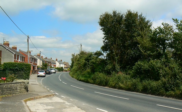
Image: © Brian Robert Marshall Taken: 22 Jul 2008
In this view Restrop Road is seen as it leads to the village of Purton. Travel in the other direction and you will pass through Greatfield and Hook before crossing the M4 on the way to Wootton Bassett.
Images are licensed for reuse under creativecommons.org/licenses/by-sa/2.0
Image Location


Leaflet Map data © OpenStreetMap
Latitude
51.584139
Longitude
-1.882325