Mortimer Gardens, Wannock, Polegate
Introduction
The photograph on this page of Mortimer Gardens, Wannock, Polegate by Kevin Gordon as part of the Geograph project.
The Geograph project started in 2005 with the aim of publishing, organising and preserving representative images for every square kilometre of Great Britain, Ireland and the Isle of Man.

There are currently over 7.5m images from over 14,400 individuals and you can help contribute to the project by visiting https://www.geograph.org.uk
Mortimer Gardens, Wannock, Polegate
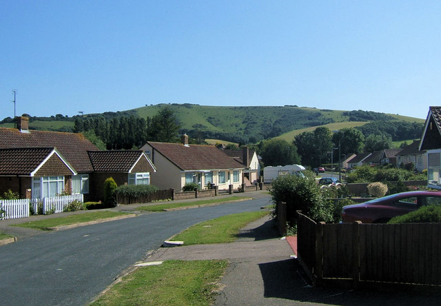
Image: © Kevin Gordon Taken: 22 Jul 2008
Taken from the junction of Paddock Gardens looking south towards the South Downs. the hill in the background is Combe Hill and when I was young we called the dip in the centre "Donkey Hollow"
Images are licensed for reuse under creativecommons.org/licenses/by-sa/2.0
Image Location
Latitude
50.812566
Longitude
0.236661