Disused lane, Gwar-cwm, Llanwnnen
Introduction
The photograph on this page of Disused lane, Gwar-cwm, Llanwnnen by Dylan Moore as part of the Geograph project.
The Geograph project started in 2005 with the aim of publishing, organising and preserving representative images for every square kilometre of Great Britain, Ireland and the Isle of Man.

There are currently over 7.5m images from over 14,400 individuals and you can help contribute to the project by visiting https://www.geograph.org.uk
Disused lane, Gwar-cwm, Llanwnnen
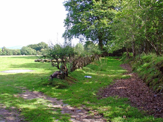
Image: © Dylan Moore Taken: 21 Jul 2008
This led to the now-disappeared Gwar-cwm farm Image which was still shown on the 1953 OS map.
Images are licensed for reuse under creativecommons.org/licenses/by-sa/2.0
Image Location
Latitude
52.109097
Longitude
-4.178353