Freemasons Arms
Introduction
The photograph on this page of Freemasons Arms by David Rogers as part of the Geograph project.
The Geograph project started in 2005 with the aim of publishing, organising and preserving representative images for every square kilometre of Great Britain, Ireland and the Isle of Man.

There are currently over 7.5m images from over 14,400 individuals and you can help contribute to the project by visiting https://www.geograph.org.uk
Freemasons Arms
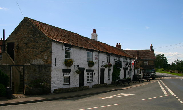
Image: © David Rogers Taken: 21 Jul 2008
Grade 2 late 18th century building situated to the west of Nosterfield village green.
Images are licensed for reuse under creativecommons.org/licenses/by-sa/2.0
Image Location


Leaflet Map data © OpenStreetMap
Latitude
54.219212
Longitude
-1.576387