Towards Golden Cap
Introduction
The photograph on this page of Towards Golden Cap by Ian Capper as part of the Geograph project.
The Geograph project started in 2005 with the aim of publishing, organising and preserving representative images for every square kilometre of Great Britain, Ireland and the Isle of Man.

There are currently over 7.5m images from over 14,400 individuals and you can help contribute to the project by visiting https://www.geograph.org.uk
Towards Golden Cap
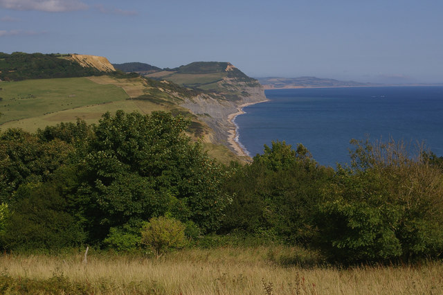
Image: © Ian Capper Taken: 15 Jul 2008
Viewed from the cliffs above Charmouth. The coastal path used to run here, but has now been diverted inland because of loss of the clifftop to landslides over the years.
Images are licensed for reuse under creativecommons.org/licenses/by-sa/2.0
Image Location
Latitude
50.735138
Longitude
-2.908693