An edible map of London
Introduction
The photograph on this page of An edible map of London by Basher Eyre as part of the Geograph project.
The Geograph project started in 2005 with the aim of publishing, organising and preserving representative images for every square kilometre of Great Britain, Ireland and the Isle of Man.

There are currently over 7.5m images from over 14,400 individuals and you can help contribute to the project by visiting https://www.geograph.org.uk
An edible map of London
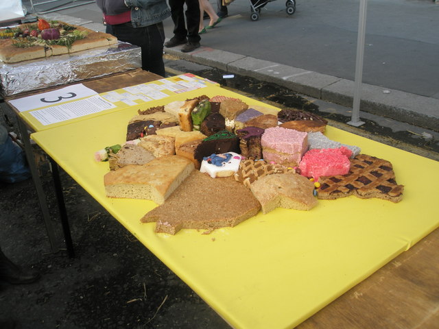
Image: © Basher Eyre Taken: 19 Jul 2008
One of the exhibits on the stall of the Worshipful Company of Bakers at the Cheapside Mediaeval market, part of the programme for the 2008 City Festival of Architecture.
Images are licensed for reuse under creativecommons.org/licenses/by-sa/2.0
Image Location


Leaflet Map data © OpenStreetMap
Latitude
51.514423
Longitude
-0.094922