The M2 (hill section), Belfast (1)
Introduction
The photograph on this page of The M2 (hill section), Belfast (1) by Albert Bridge as part of the Geograph project.
The Geograph project started in 2005 with the aim of publishing, organising and preserving representative images for every square kilometre of Great Britain, Ireland and the Isle of Man.

There are currently over 7.5m images from over 14,400 individuals and you can help contribute to the project by visiting https://www.geograph.org.uk
The M2 (hill section), Belfast (1)
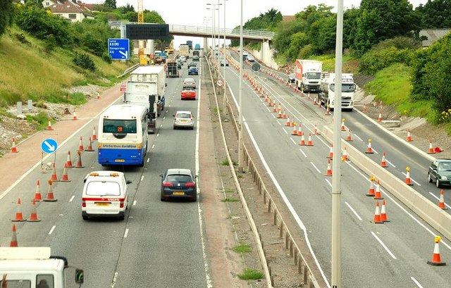
Image: © Albert Bridge Taken: 21 Jul 2008
See Image and Image Work continues on the widening on the M2 between Greencastle and Sandyknowes. This is the hill section seen from the Bellevue Bridge on the Antrim Road. The re-built Collin Bridge is in the background. See also Image
Images are licensed for reuse under creativecommons.org/licenses/by-sa/2.0
Image Location


Leaflet Map data © OpenStreetMap
Latitude
54.66452
Longitude
-5.950681