The former Hackford - Whitwell Parochial Schools
Introduction
The photograph on this page of The former Hackford - Whitwell Parochial Schools by Evelyn Simak as part of the Geograph project.
The Geograph project started in 2005 with the aim of publishing, organising and preserving representative images for every square kilometre of Great Britain, Ireland and the Isle of Man.

There are currently over 7.5m images from over 14,400 individuals and you can help contribute to the project by visiting https://www.geograph.org.uk
The former Hackford - Whitwell Parochial Schools
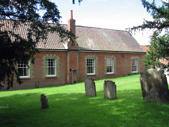
Image: © Evelyn Simak Taken: 20 Jul 2008
Viewed across the churchyard. The plaque on the gable end says "Hackford - Whitwell Parochial Schools, Built by Subscription, A.D. 1860". *No longer a school, and now used as Reepham Town Hall. (*Thanks to Gareth Hughes for this information.)
Images are licensed for reuse under creativecommons.org/licenses/by-sa/2.0
Image Location
Latitude
52.762747
Longitude
1.111907