Private Housing, Littleborough.
Introduction
The photograph on this page of Private Housing, Littleborough. by michael ely as part of the Geograph project.
The Geograph project started in 2005 with the aim of publishing, organising and preserving representative images for every square kilometre of Great Britain, Ireland and the Isle of Man.

There are currently over 7.5m images from over 14,400 individuals and you can help contribute to the project by visiting https://www.geograph.org.uk
Private Housing, Littleborough.
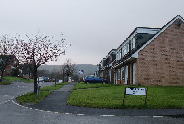
Image: © michael ely Taken: 10 Dec 2005
An estate of semi-detached dormer bungalows built in the late 1960s/early 1970s on farmland near Littleborough.
Images are licensed for reuse under creativecommons.org/licenses/by-sa/2.0
Image Location


Leaflet Map data © OpenStreetMap
Latitude
53.64226
Longitude
-2.111893