Salisbury Road, Chilmark
Introduction
The photograph on this page of Salisbury Road, Chilmark by Andy Gryce as part of the Geograph project.
The Geograph project started in 2005 with the aim of publishing, organising and preserving representative images for every square kilometre of Great Britain, Ireland and the Isle of Man.

There are currently over 7.5m images from over 14,400 individuals and you can help contribute to the project by visiting https://www.geograph.org.uk
Salisbury Road, Chilmark
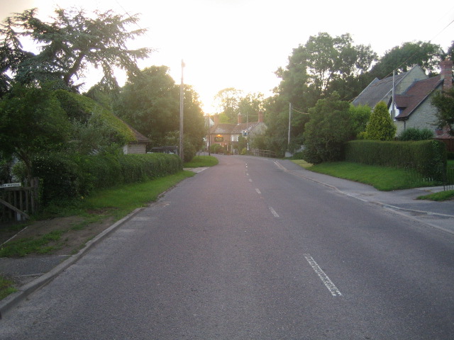
Image: © Andy Gryce Taken: 29 Jun 2007
Salisbury Road, the main road through Chilmark, is the B3809 that runs east-west from the A30 at Barford St Martin to the A303 trunk road near West Knoyle. This was once the earliest road west from Salisbury when as a turnpike it went onto Shaftesbury. The road however was allowed to expire in 1788 when a new turnpike, now the route of the present A30, was constructed. The Black Dog, the village's public house, can be seen in the distance, in Image, as the road curves to the left.
Images are licensed for reuse under creativecommons.org/licenses/by-sa/2.0
Image Location
Latitude
51.094411
Longitude
-2.042789