Field, Roundstone Farm
Introduction
The photograph on this page of Field, Roundstone Farm by Simon Carey as part of the Geograph project.
The Geograph project started in 2005 with the aim of publishing, organising and preserving representative images for every square kilometre of Great Britain, Ireland and the Isle of Man.

There are currently over 7.5m images from over 14,400 individuals and you can help contribute to the project by visiting https://www.geograph.org.uk
Field, Roundstone Farm
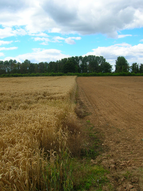
Image: © Simon Carey Taken: 20 Jul 2008
The farm has one big field which it splits into strips growing different produce, here a section of wheat ends before a recently ploughed area. Taken from the footpath that runs through the field from Ecclesden Lane to the A259 and looking towards a hedge that marks the course of the A280.
Images are licensed for reuse under creativecommons.org/licenses/by-sa/2.0
Image Location


Leaflet Map data © OpenStreetMap
Latitude
50.824699
Longitude
-0.470433