Falthwaite Grange Farm
Introduction
The photograph on this page of Falthwaite Grange Farm by Wendy North as part of the Geograph project.
The Geograph project started in 2005 with the aim of publishing, organising and preserving representative images for every square kilometre of Great Britain, Ireland and the Isle of Man.

There are currently over 7.5m images from over 14,400 individuals and you can help contribute to the project by visiting https://www.geograph.org.uk
Falthwaite Grange Farm
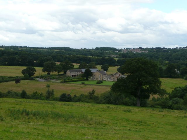
Image: © Wendy North Taken: 20 Jul 2008
The farm has a recently restored Cruck Barn which can be viewed on another Geograph image: http://www.geograph.org.uk/photo/890191. Silkstone Common can be seen on the horizon.
Images are licensed for reuse under creativecommons.org/licenses/by-sa/2.0
Image Location


Leaflet Map data © OpenStreetMap
Latitude
53.526562
Longitude
-1.541088