Barn Street junction
Introduction
The photograph on this page of Barn Street junction by Deborah Tilley as part of the Geograph project.
The Geograph project started in 2005 with the aim of publishing, organising and preserving representative images for every square kilometre of Great Britain, Ireland and the Isle of Man.

There are currently over 7.5m images from over 14,400 individuals and you can help contribute to the project by visiting https://www.geograph.org.uk
Barn Street junction
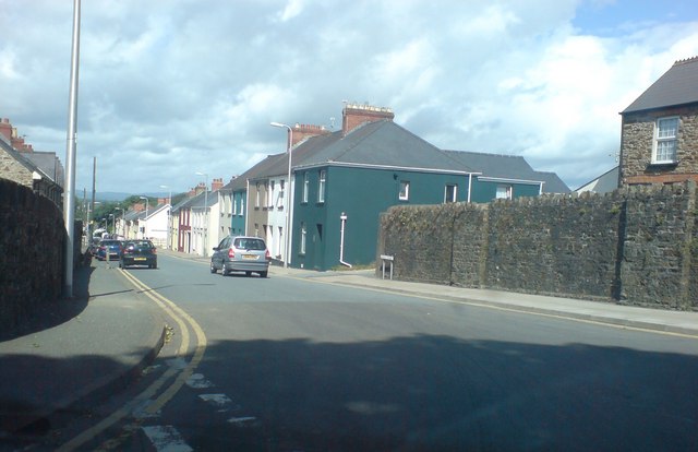
Image: © Deborah Tilley Taken: 20 Jul 2008
Albert Street approaches from the right and Fountain Row is hidden between the terrace on the right and links with Dew Street.
Images are licensed for reuse under creativecommons.org/licenses/by-sa/2.0
Image Location
Latitude
51.798801
Longitude
-4.976489