Former Railway Cutting
Introduction
The photograph on this page of Former Railway Cutting by David Quinn as part of the Geograph project.
The Geograph project started in 2005 with the aim of publishing, organising and preserving representative images for every square kilometre of Great Britain, Ireland and the Isle of Man.

There are currently over 7.5m images from over 14,400 individuals and you can help contribute to the project by visiting https://www.geograph.org.uk
Former Railway Cutting
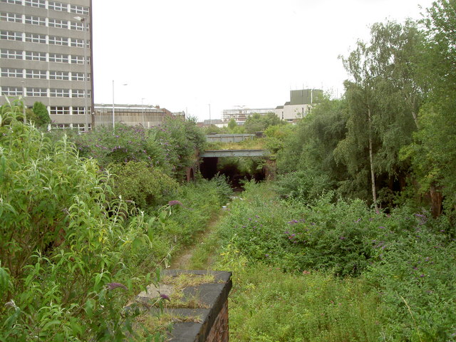
Image: © David Quinn Taken: 19 Jul 2008
A railway cutting for the former Birkenhead Dock branch of the Wirral Lines, which runs right through Birkenhead from Bidston to near Rock Ferry.
Images are licensed for reuse under creativecommons.org/licenses/by-sa/2.0
Image Location
Latitude
53.393824
Longitude
-3.020577