Old mill lade
Introduction
The photograph on this page of Old mill lade by Thomas Nugent as part of the Geograph project.
The Geograph project started in 2005 with the aim of publishing, organising and preserving representative images for every square kilometre of Great Britain, Ireland and the Isle of Man.

There are currently over 7.5m images from over 14,400 individuals and you can help contribute to the project by visiting https://www.geograph.org.uk
Old mill lade
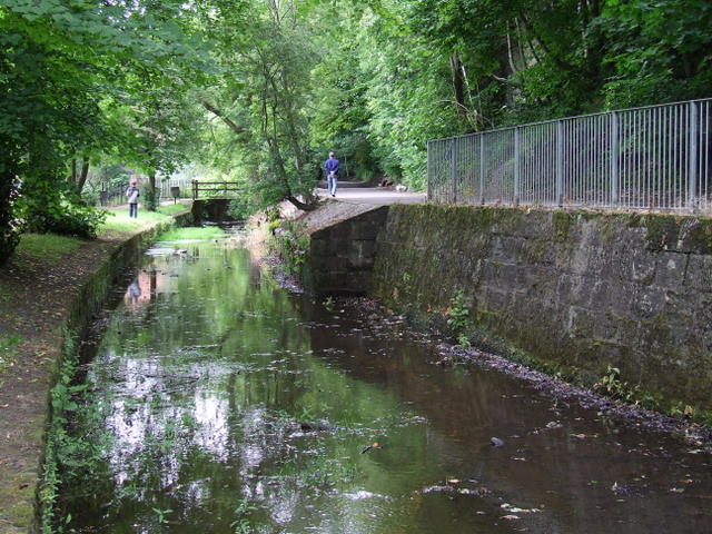
Image: © Thomas Nugent Taken: 12 Jul 2008
By the River Kelvin. The Kelvin Walkway is to the right. The lade provided water to the ruined North Woodside flint mill.
Images are licensed for reuse under creativecommons.org/licenses/by-sa/2.0
Image Location
Latitude
55.878356
Longitude
-4.283568