Approaching the turning for Ty'n Pwll
Introduction
The photograph on this page of Approaching the turning for Ty'n Pwll by Eric Jones as part of the Geograph project.
The Geograph project started in 2005 with the aim of publishing, organising and preserving representative images for every square kilometre of Great Britain, Ireland and the Isle of Man.

There are currently over 7.5m images from over 14,400 individuals and you can help contribute to the project by visiting https://www.geograph.org.uk
Approaching the turning for Ty'n Pwll
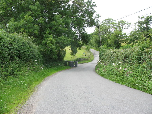
Image: © Eric Jones Taken: 16 Jul 2008
The path flagged here leads right across the Malltrath Marsh to Brynhyfryd, north of Llangaffo Image
Images are licensed for reuse under creativecommons.org/licenses/by-sa/2.0
Image Location
Latitude
53.231685
Longitude
-4.334286