Newton Downs
Introduction
The photograph on this page of Newton Downs by Derek Harper as part of the Geograph project.
The Geograph project started in 2005 with the aim of publishing, organising and preserving representative images for every square kilometre of Great Britain, Ireland and the Isle of Man.

There are currently over 7.5m images from over 14,400 individuals and you can help contribute to the project by visiting https://www.geograph.org.uk
Newton Downs
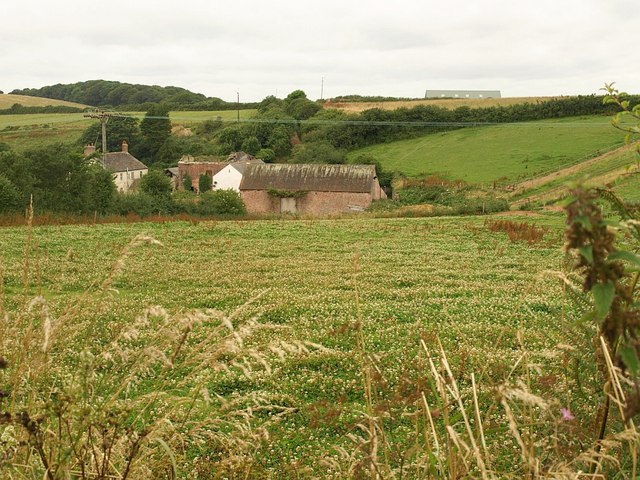
Image: © Derek Harper Taken: 17 Jul 2008
An equestrian centre based at a farm just outside Newton Ferrers, set in the Shortaflete valley which runs down to the nearby River Yealm estuary. Seen from the lane to Wrescombe.
Images are licensed for reuse under creativecommons.org/licenses/by-sa/2.0
Image Location
Latitude
50.325894
Longitude
-4.029988