Crossing Burn from Carn an Dubh-ghlaic
Introduction
The photograph on this page of Crossing Burn from Carn an Dubh-ghlaic by Sarah McGuire as part of the Geograph project.
The Geograph project started in 2005 with the aim of publishing, organising and preserving representative images for every square kilometre of Great Britain, Ireland and the Isle of Man.

There are currently over 7.5m images from over 14,400 individuals and you can help contribute to the project by visiting https://www.geograph.org.uk
Crossing Burn from Carn an Dubh-ghlaic
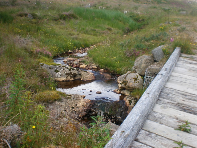
Image: © Sarah McGuire Taken: 17 Jul 2008
The foot bridge was up the hill behind house. Most of the trees had been cut down.
Images are licensed for reuse under creativecommons.org/licenses/by-sa/2.0
Image Location
Latitude
57.302748
Longitude
-4.398728