Ysgol Gynradd Bro Lleu Primary School
Introduction
The photograph on this page of Ysgol Gynradd Bro Lleu Primary School by Eric Jones as part of the Geograph project.
The Geograph project started in 2005 with the aim of publishing, organising and preserving representative images for every square kilometre of Great Britain, Ireland and the Isle of Man.

There are currently over 7.5m images from over 14,400 individuals and you can help contribute to the project by visiting https://www.geograph.org.uk
Ysgol Gynradd Bro Lleu Primary School
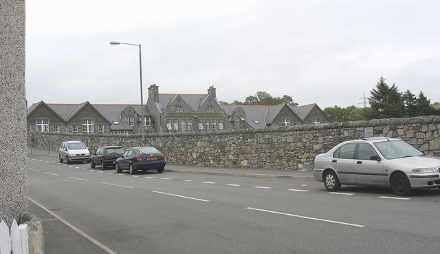
Image: © Eric Jones Taken: 15 Jul 2008
This school occupies the building once used by the Penygroes Intermediate School. Bro Lleu is a 3-11 years old community school.
Images are licensed for reuse under creativecommons.org/licenses/by-sa/2.0
Image Location
Latitude
53.053676
Longitude
-4.277942