Low Row
Introduction
The photograph on this page of Low Row by Oliver Dixon as part of the Geograph project.
The Geograph project started in 2005 with the aim of publishing, organising and preserving representative images for every square kilometre of Great Britain, Ireland and the Isle of Man.

There are currently over 7.5m images from over 14,400 individuals and you can help contribute to the project by visiting https://www.geograph.org.uk
Low Row
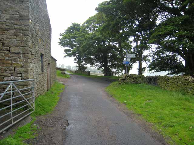
Image: © Oliver Dixon Taken: 15 Jul 2008
The Pennine Cycleway (Route 68 of the National Cycle Network) follows the road in the foreground before turning right at the junction and dropping down to the floor of the South Tyne valley.
Images are licensed for reuse under creativecommons.org/licenses/by-sa/2.0
Image Location


Leaflet Map data © OpenStreetMap
Latitude
54.845799
Longitude
-2.467147