The site of Salem Calvinistic Methodist Chapel, Rhedyw Road
Introduction
The photograph on this page of The site of Salem Calvinistic Methodist Chapel, Rhedyw Road by Eric Jones as part of the Geograph project.
The Geograph project started in 2005 with the aim of publishing, organising and preserving representative images for every square kilometre of Great Britain, Ireland and the Isle of Man.

There are currently over 7.5m images from over 14,400 individuals and you can help contribute to the project by visiting https://www.geograph.org.uk
The site of Salem Calvinistic Methodist Chapel, Rhedyw Road
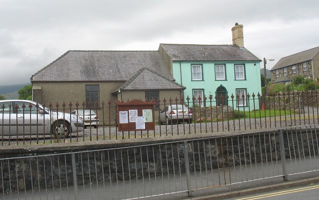
Image: © Eric Jones Taken: 15 Jul 2008
The chapel has been demolished. The vestry and the chapel house survives as does the cemetery in the back.
Images are licensed for reuse under creativecommons.org/licenses/by-sa/2.0
Image Location
Latitude
53.041352
Longitude
-4.282961