The M2 near Parkgate and Templepatrick
Introduction
The photograph on this page of The M2 near Parkgate and Templepatrick by Albert Bridge as part of the Geograph project.
The Geograph project started in 2005 with the aim of publishing, organising and preserving representative images for every square kilometre of Great Britain, Ireland and the Isle of Man.

There are currently over 7.5m images from over 14,400 individuals and you can help contribute to the project by visiting https://www.geograph.org.uk
The M2 near Parkgate and Templepatrick
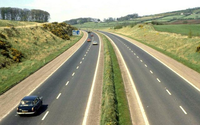
Image: © Albert Bridge Taken: 3 May 1980
See Image The view towards Antrim, from the same bridge, some 26 years earlier.
Images are licensed for reuse under creativecommons.org/licenses/by-sa/2.0
Image Location


Leaflet Map data © OpenStreetMap
Latitude
54.718205
Longitude
-6.108143