Gartree Parish Church
Introduction
The photograph on this page of Gartree Parish Church by Brian Shaw as part of the Geograph project.
The Geograph project started in 2005 with the aim of publishing, organising and preserving representative images for every square kilometre of Great Britain, Ireland and the Isle of Man.

There are currently over 7.5m images from over 14,400 individuals and you can help contribute to the project by visiting https://www.geograph.org.uk
Gartree Parish Church
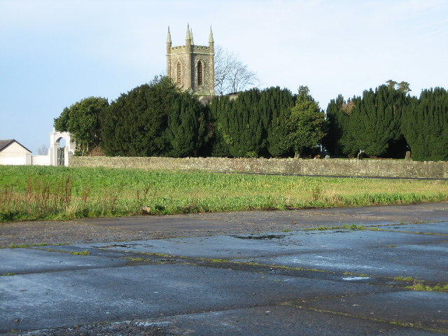
Image: © Brian Shaw Taken: 8 Dec 2005
This Church was built in the 1830s by the Pakenham family. As can be seen, it is right beside one of the runways at the disused Langford Lodge airfield.
Images are licensed for reuse under creativecommons.org/licenses/by-sa/2.0
Image Location


Leaflet Map data © OpenStreetMap
Latitude
54.615833
Longitude
-6.305788