Diglis Avenue
Introduction
The photograph on this page of Diglis Avenue by Trevor Rickard as part of the Geograph project.
The Geograph project started in 2005 with the aim of publishing, organising and preserving representative images for every square kilometre of Great Britain, Ireland and the Isle of Man.

There are currently over 7.5m images from over 14,400 individuals and you can help contribute to the project by visiting https://www.geograph.org.uk
Diglis Avenue
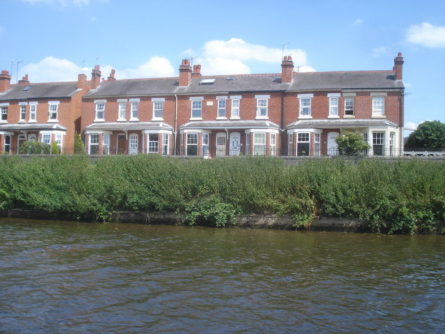
Image: © Trevor Rickard Taken: 1 Jul 2008
Situated right on the east bank of the Severn, this row of terraced houses often suffers from flooding. They all have raised front doors with steps up and down to enter and it is impossible to get house insurance here.
Images are licensed for reuse under creativecommons.org/licenses/by-sa/2.0
Image Location


Leaflet Map data © OpenStreetMap
Latitude
52.184488
Longitude
-2.222421