The A386 South of Roborough
Introduction
The photograph on this page of The A386 South of Roborough by Tony Atkin as part of the Geograph project.
The Geograph project started in 2005 with the aim of publishing, organising and preserving representative images for every square kilometre of Great Britain, Ireland and the Isle of Man.

There are currently over 7.5m images from over 14,400 individuals and you can help contribute to the project by visiting https://www.geograph.org.uk
The A386 South of Roborough
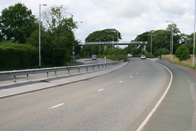
Image: © Tony Atkin Taken: 13 Jul 2008
This is the main road into Plymouth from the North.
Images are licensed for reuse under creativecommons.org/licenses/by-sa/2.0
Image Location
Latitude
50.437816
Longitude
-4.108991