Hartlebury level crossing, looking northeast
Introduction
The photograph on this page of Hartlebury level crossing, looking northeast by P L Chadwick as part of the Geograph project.
The Geograph project started in 2005 with the aim of publishing, organising and preserving representative images for every square kilometre of Great Britain, Ireland and the Isle of Man.

There are currently over 7.5m images from over 14,400 individuals and you can help contribute to the project by visiting https://www.geograph.org.uk
Hartlebury level crossing, looking northeast
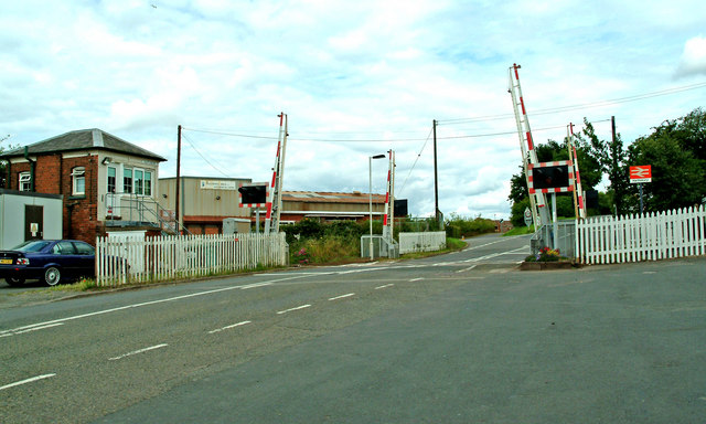
Image: © P L Chadwick Taken: 13 Jul 2008
The level crossing in next to the railway station. On the left is Hartlebury Signal Box and in the distance is part of a brickworks.
Images are licensed for reuse under creativecommons.org/licenses/by-sa/2.0
Image Location
Latitude
52.334538
Longitude
-2.221266