Troy Town Junction.
Introduction
The photograph on this page of Troy Town Junction. by Nigel Mykura as part of the Geograph project.
The Geograph project started in 2005 with the aim of publishing, organising and preserving representative images for every square kilometre of Great Britain, Ireland and the Isle of Man.

There are currently over 7.5m images from over 14,400 individuals and you can help contribute to the project by visiting https://www.geograph.org.uk
Troy Town Junction.
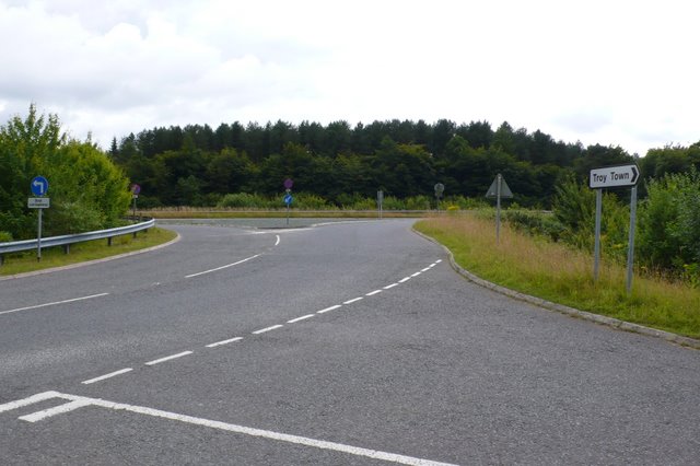
Image: © Nigel Mykura Taken: 13 Jul 2008
Junction of the old A35 and the new Puddletown bypass at Troy town just outside Puddletown
Images are licensed for reuse under creativecommons.org/licenses/by-sa/2.0
Image Location
Latitude
50.744127
Longitude
-2.367028