Victoria Park
Introduction
The photograph on this page of Victoria Park by Martin Addison as part of the Geograph project.
The Geograph project started in 2005 with the aim of publishing, organising and preserving representative images for every square kilometre of Great Britain, Ireland and the Isle of Man.

There are currently over 7.5m images from over 14,400 individuals and you can help contribute to the project by visiting https://www.geograph.org.uk
Victoria Park
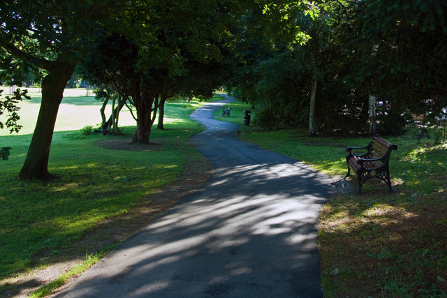
Image: © Martin Addison Taken: 12 Jul 2008
A nice shady walk with seats on the southern side of the park. The road just visible through the trees on the right is Parkview Road.
Images are licensed for reuse under creativecommons.org/licenses/by-sa/2.0
Image Location
Latitude
51.602871
Longitude
-0.183208