St. Peter's churchyard, St Mary Bourne
Introduction
The photograph on this page of St. Peter's churchyard, St Mary Bourne by Graham Horn as part of the Geograph project.
The Geograph project started in 2005 with the aim of publishing, organising and preserving representative images for every square kilometre of Great Britain, Ireland and the Isle of Man.

There are currently over 7.5m images from over 14,400 individuals and you can help contribute to the project by visiting https://www.geograph.org.uk
St. Peter's churchyard, St Mary Bourne
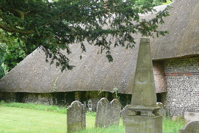
Image: © Graham Horn Taken: 12 Jul 2008
One of the more important graves in the churchyard, and a fascinating thatched building behind where the thatch almost reaches the ground.
Images are licensed for reuse under creativecommons.org/licenses/by-sa/2.0
Image Location
Latitude
51.250038
Longitude
-1.39531