Frindsbury Road, Strood
Introduction
The photograph on this page of Frindsbury Road, Strood by Danny P Robinson as part of the Geograph project.
The Geograph project started in 2005 with the aim of publishing, organising and preserving representative images for every square kilometre of Great Britain, Ireland and the Isle of Man.

There are currently over 7.5m images from over 14,400 individuals and you can help contribute to the project by visiting https://www.geograph.org.uk
Frindsbury Road, Strood
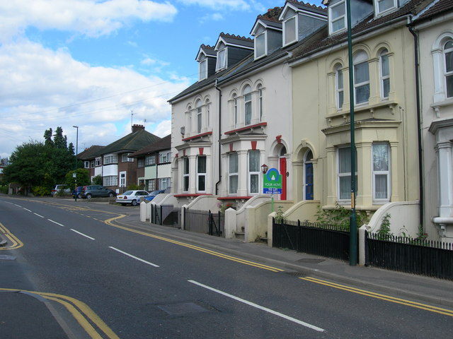
Image: © Danny P Robinson Taken: 12 Jul 2008
Near Goddington Road. Showing large 19th century houses and 1930s "suntrap" style houses beyond. This is the A228, the main road out of Strood.
Images are licensed for reuse under creativecommons.org/licenses/by-sa/2.0
Image Location
Latitude
51.398808
Longitude
0.497047