Dairy Hall
Introduction
The photograph on this page of Dairy Hall by Deborah Tilley as part of the Geograph project.
The Geograph project started in 2005 with the aim of publishing, organising and preserving representative images for every square kilometre of Great Britain, Ireland and the Isle of Man.

There are currently over 7.5m images from over 14,400 individuals and you can help contribute to the project by visiting https://www.geograph.org.uk
Dairy Hall
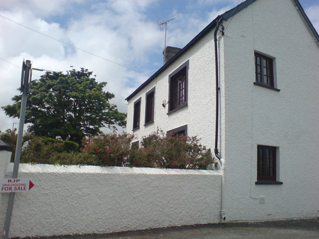
Image: © Deborah Tilley Taken: 11 Jul 2008
On the junction of Cuckoo Lane and Haven Road. One of the oldest buildings in the area. Once surrounded by fields.
Images are licensed for reuse under creativecommons.org/licenses/by-sa/2.0
Image Location
Latitude
51.799473
Longitude
-4.999597