Hill Farm
Introduction
The photograph on this page of Hill Farm by Sharon Loxton as part of the Geograph project.
The Geograph project started in 2005 with the aim of publishing, organising and preserving representative images for every square kilometre of Great Britain, Ireland and the Isle of Man.

There are currently over 7.5m images from over 14,400 individuals and you can help contribute to the project by visiting https://www.geograph.org.uk
Hill Farm
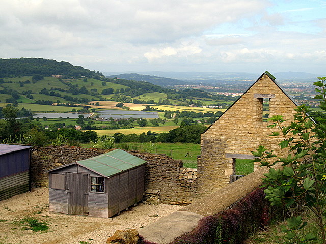
Image: © Sharon Loxton Taken: 10 Jul 2008
Hill Farm lies at the base of 'The Peak' and, as can be seen, is currently being 'renovated'. In the distance are the Witcombe Reservoirs and just behind that to the left of the picture is Cooper's Hill.
Images are licensed for reuse under creativecommons.org/licenses/by-sa/2.0
Image Location
Latitude
51.833734
Longitude
-2.115907