Disused bank, High Street, Maryport
Introduction
The photograph on this page of Disused bank, High Street, Maryport by Humphrey Bolton as part of the Geograph project.
The Geograph project started in 2005 with the aim of publishing, organising and preserving representative images for every square kilometre of Great Britain, Ireland and the Isle of Man.

There are currently over 7.5m images from over 14,400 individuals and you can help contribute to the project by visiting https://www.geograph.org.uk
Disused bank, High Street, Maryport
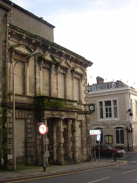
Image: © Humphrey Bolton Taken: 3 Jan 2004
Built with optimism but evidently not sustainable. Let's hope someone can find a good use for this building (not a fast food outlet, please!).
Images are licensed for reuse under creativecommons.org/licenses/by-sa/2.0
Image Location


Leaflet Map data © OpenStreetMap
Latitude
54.714217
Longitude
-3.499459