Moorhouse Cottages
Introduction
The photograph on this page of Moorhouse Cottages by Ian Capper as part of the Geograph project.
The Geograph project started in 2005 with the aim of publishing, organising and preserving representative images for every square kilometre of Great Britain, Ireland and the Isle of Man.

There are currently over 7.5m images from over 14,400 individuals and you can help contribute to the project by visiting https://www.geograph.org.uk
Moorhouse Cottages
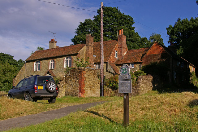
Image: © Ian Capper Taken: 2 Jul 2008
Grade II listed 16th century cottages, one of a small group on Moorhouse Road near its junction with A25. The National Trust sign applies only to this small grass triangle, but it owns a number of other areas of land nearby.
Images are licensed for reuse under creativecommons.org/licenses/by-sa/2.0
Image Location
Latitude
51.261373
Longitude
0.048006