Amber River
Introduction
The photograph on this page of Amber River by Roger May as part of the Geograph project.
The Geograph project started in 2005 with the aim of publishing, organising and preserving representative images for every square kilometre of Great Britain, Ireland and the Isle of Man.

There are currently over 7.5m images from over 14,400 individuals and you can help contribute to the project by visiting https://www.geograph.org.uk
Amber River
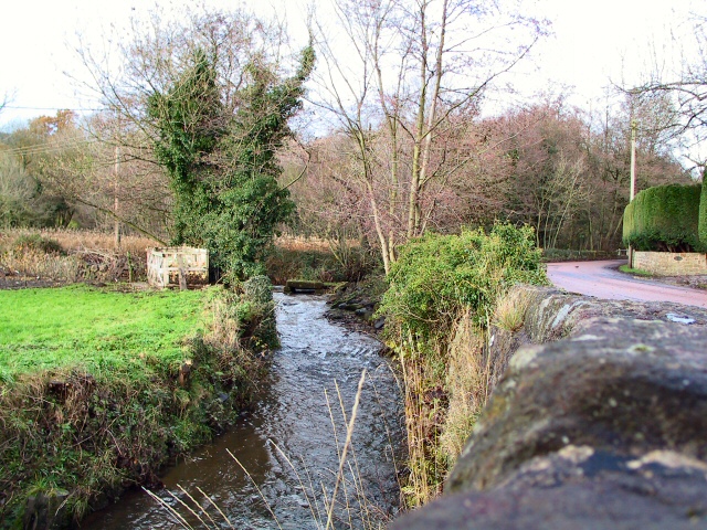
Image: © Roger May Taken: 5 Dec 2005
The River Amber meandering along Fallgate, by the Miners Arms at Milltown, on its way to help fill Ogston Reservoir a mile or so downstream. (Behind viewpoint)
Images are licensed for reuse under creativecommons.org/licenses/by-sa/2.0
Image Location
Latitude
53.150362
Longitude
-1.470643